We remain fully operational. Our teams are working around the clock to ensure your deliveries continue safely.

Descargar la aplicación


Servicios al cliente
Sobre nosotros
Copyright © 2025 Desertcart Holdings Limited
Descargar la aplicación


🧭 Unlock Every Trail, Own Every Adventure!
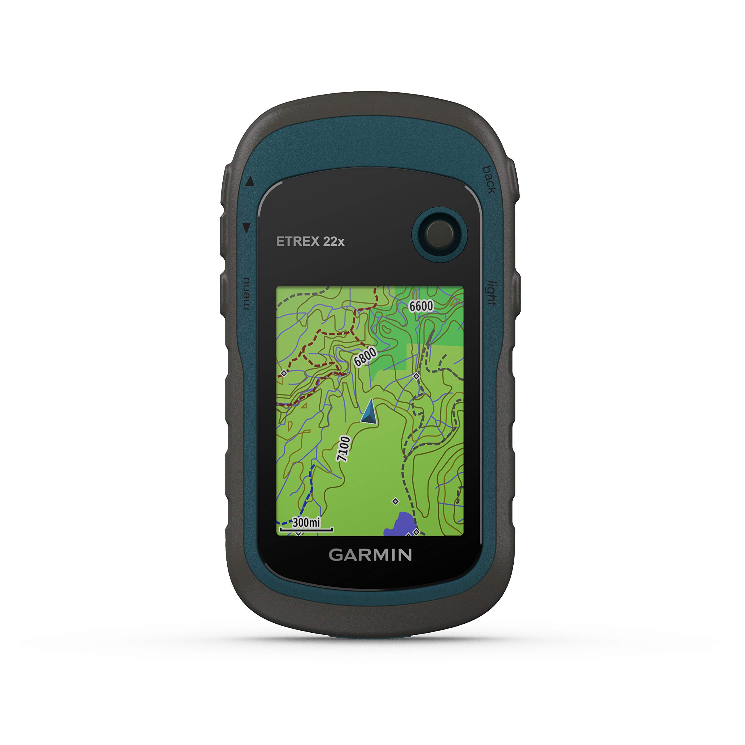
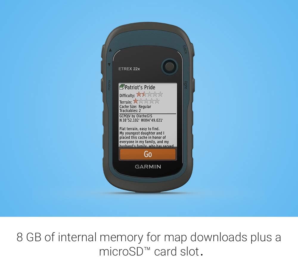
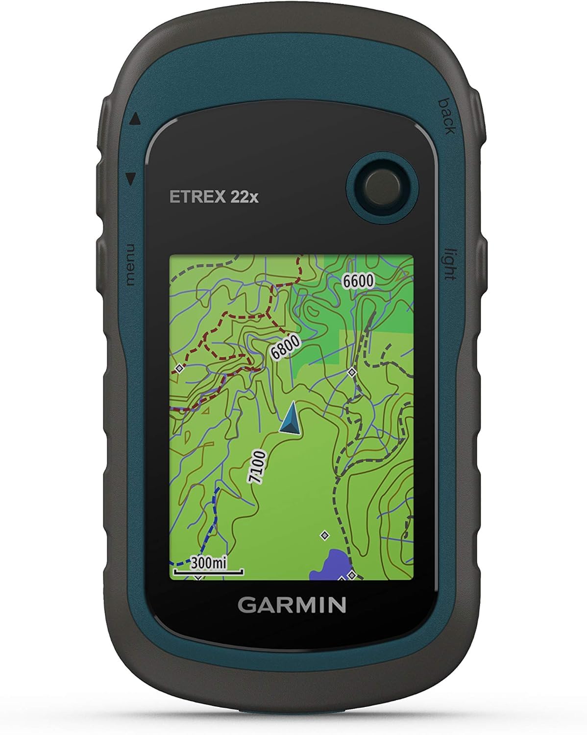
The Garmin eTrex 22x is a rugged handheld GPS navigator featuring a 2.2-inch sunlight-readable color touchscreen, dual GPS and GLONASS satellite support for enhanced tracking, and 8GB internal memory expandable via microSD for extensive map storage. Designed for outdoor professionals and enthusiasts, it offers up to 25 hours of battery life on 2 AA batteries, preloaded TopoActive maps for cycling and hiking, and a compact, durable build perfect for all terrains.


| ASIN | B07RTD2PMT |
| Are Batteries Included? | No |
| Audio Output Mode | speaker |
| Battery Average Life | 25 Hours |
| Best Sellers Rank | #22,314 in Sports, Fitness & Outdoors ( See Top 100 in Sports, Fitness & Outdoors ) #2 in Handheld GPS Units |
| Box Contents | eTrex 22x; USB cable; documentation |
| Brand | Garmin |
| Brand Name | Garmin |
| Compatible with Vehicle Type | Boat |
| Connectivity Protocol | Bluetooth |
| Connectivity Technology | Bluetooth |
| Control Method | Touch |
| Customer Reviews | 4.2 out of 5 stars 1,955 Reviews |
| Display Type | touch screen, color display |
| Human Interface Types | Buttons |
| Item Dimensions L x W x H | 10.2L x 5.3W x 3.3H Centimeters |
| Item Weight Unit of Measure | 0.31 Pounds |
| Manufacturer | Garmin |
| Map Coverage Type | Satellite |
| Memory Storage Capacity | 8 GB |
| Model Name | eTrex 22x |
| Model Year | 2020 |
| Mounting Type | Handlebar Mount |
| Network Connectivity Technology | Bluetooth |
| Operating Systems | windows |
| Product Features | Bluetooth |
| Resolution | 240 x 240 |
| Screen Size | 2.2 Inches |
| Screen Size Unit of Measure | 2.2 Inches |
| Special Feature | Bluetooth |
| Sport Type | Camping & Hiking |
| Supported Satellite Navigation System | GPS |
| Touch Screen Type | Capacitive |
| UPC | 753759230777 |
| Unit Count | 1 Count |
| Vehicle Service Type | Boat |
J**N
Excellent product 👌👌
This german device is very helpful for my profession. Because i am a land surveyor so so much easier to survey the land
F**S
Handling and accuracy is good
Product is good. I carry it for my work. I’m in to agroforestry consultation, on my farm visits I get the exact land contour and markings. Which is very helpful
M**D
Super
Superb superb superb superb performance I is working well good piece to buy and it is very usse full to all mandal surveyor s
D**N
It does not birds eye imaginary satellite view & upda tr es
Doesn't support the latest navigation maps or satellite maps and even it doesn't support updates
Trustpilot
Hace 2 semanas
Hace 2 días